Space Science and Geospatial Institute Launches New Satellite Data Collection Stations
Addis Ababa, December 1, 2025 (FMC) – The Space Science and Geospatial Institute (SSGI) has inaugurated a new network of satellite data collection stations in Addis Ababa and several regional cities, marking a significant milestone in Ethiopia’s ongoing digital transformation.
State Minister of Innovation and Technology, Muluken Kere, emphasized that the Digital Ethiopia 2025 Strategy has laid a strong foundation for major technological advancements across the country.
He highlighted ongoing efforts to expand digital infrastructure and reaffirmed the government’s commitment to establishing satellite data receiving stations nationwide.
Muluken also pointed to recent digital achievements, including the rollout of the Digital ID project, and underscored that Ethiopia’s growing pool of skilled professionals signals a promising digital future.
Ethiopia currently requires an estimated 200 Continuous Operating Reference Stations (CORS) to achieve optimal geospatial coverage, but only 10 have been installed to date. In response, SSGI plans to install an additional 10 stations this fiscal year, aiming to increase the total to 30 within the next two years.
The newly launched stations include a main control hub in Addis Ababa, four in Sheger and surrounding towns, and others in Bonga, Semera, Jigjiga, Debre Berhan, and Jimma. This expanded ETCORS system is expected to significantly improve urban management and support infrastructure development.
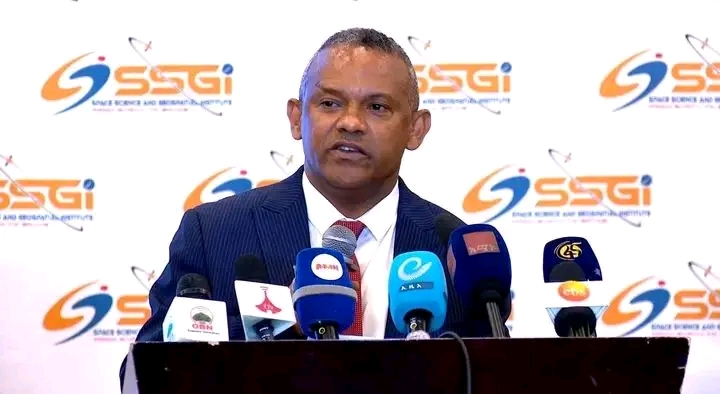
SSGI Director General, Abdisa Yilma (PhD), explained that the stations are equipped with advanced technology to provide surveyors, researchers, disaster-risk analysts, topographers, and mapping professionals with real-time geospatial data.
He emphasized the critical role of accurate geospatial information in the design and construction of buildings, roads, bridges, and dams.
The system will also support key sectors such as agriculture, industry, and mining, contributing to high-quality land administration and planning.
Abdisa added that SSGI will leverage the new stations to enhance surveying, mapping, and research activities nationwide.
State Minister of Urban and Infrastructure, Fanta Dejen, highlighted that the system will significantly improve public services, particularly urban land management. “This will make services faster, more transparent, and fairer,” Fanta said, noting that the system’s near-perfect measurement accuracy will help reduce public complaints.
He added that ETCORS will also support smart city development and the expansion of urban green spaces.
The Embracing the Culture of Research (ETCORS) service is designed not only for Ethiopia but also for neighboring countries and the global community. The stations, which began operations today, are expected to strengthen data-driven decision-making and enhance the accuracy of surveying, land registration, and urban planning practices.
Meanwhile, the Ministry of Urban Development and Infrastructure is working to establish 14 additional CORS stations across Ethiopia, further expanding the national geospatial infrastructure network.